Agriculture Drones
August 13, 2022, 10:30 am
The use of agriculture drones and connected analytics has great potential to support and address some of the most pressing problems faced by agriculture in terms of access to actionable real-time quality data.
Climate change is having a major impact on food security. More than 815 million people are chronically hungry and 64 percent of the chronically hungry are in Asia. The world needs to increase food production by almost 50 percent by 2050 to feed a population of nine billion, yet resources such as land and water are becoming more and scarcer.
Agriculture Drones
Farming communities and others involved in agriculture have to adapt agriculture to climate change and other challenges. In this context, ICT-driven tools and technologies to enhance decision making through accurate, reliable and timely information have an important role to play. Agriculture has to look towards emerging technologies for solutions to overcome some of the challenges facing it.
Sensor networks based on the Internet of things (IoT) are increasingly being used in the agriculture sector to meet the challenge of harvesting meaningful and actionable information from the big data generated by these systems
One of the latest developments is the increase in the use of small, unmanned aerial vehicles (UAVs), commonly known as drones, for agriculture
WHAT IS AGRICULTURE DRONE
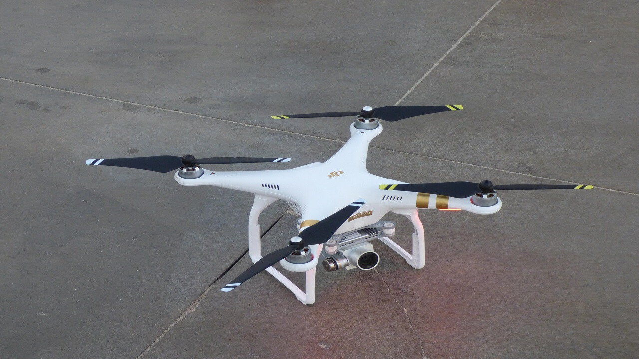
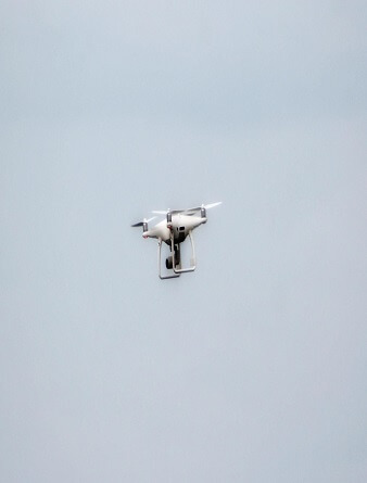
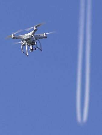
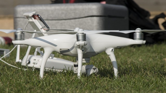
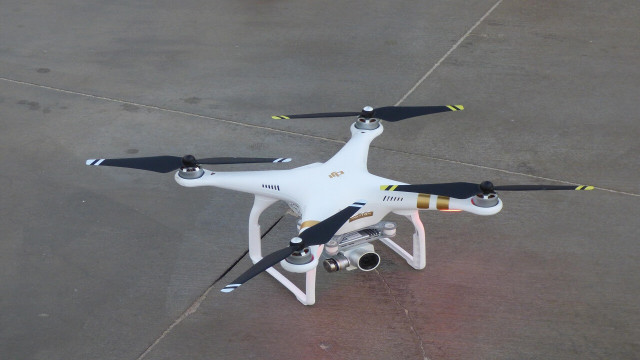
Agriculture drones are remote controlled aircraft with no human pilot on-board used for agricultural purposes. They have a huge potential in agriculture in supporting evidence-based planning and in spatial data collection. Despite some inherent limitations, these tools and technologies can provide valuable data that can then be used to influence policies and decisions.
The advantages that “an eye in the sky” provides when combined with analytic tools that can interpret the data and images to actionable information have ushered in a new revolution
The use of drones in agriculture is extending at a brisk pace in crop production, early warning systems, disaster risk reduction, forestry, fisheries, as well as in wildlife conservation.
USES OF AGRICULTURE DRONES
The areas where agriculture drones have strategic benefits for agriculture are as follows:
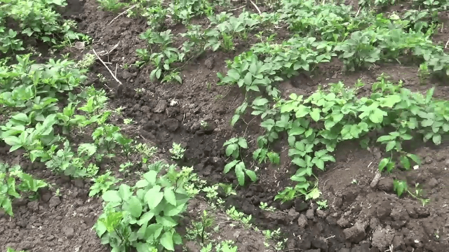
Crop production
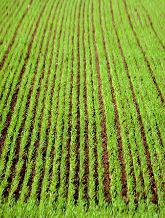
Precision farming combines sensor data and imaging with real-time data analytics to improve farm productivity through mapping spatial variability in the field. Data collected through agriculture drone sorties provide the much-needed wealth of raw data to activate analytical models for agriculture. In supporting precision farming, agriculture drones can do soil health scans, monitor crop health, assist in planning irrigation schedules, apply fertilizers, estimate yield data and provide valuable data for weather analysis. Data collected through agriculture drones combined with other data sources and analytic solutions provide actionable information
Agriculture drones such as the DJI Agras MG-1 are designed for precision variable rate application of liquid pesticides, fertilizers and herbicides. Multispectral and hyper-spectral aerial and satellite imagery helps in creating Normalized Difference Vegetation Index (NDVI) maps, which can differentiate soil from grass or forest, detect plants under stress, and differentiate between crops and crop stages.
There are strong correlations between crop yield and NDVI data measured at certain crop stages. Hence tracking the crop growth at key stages will help to provide an accurate estimate of the crop yield and also to address issues early. Agriculture drones fitted with infrared, multispectral and hyperspectral sensors can analyse crop health and soil conditions precisely and accurately.
NDVI data, in combination with other indexes such as the Crop-Water Stress Index (CWSI) and the Canopy-Chlorophyll Content Index (CCCI) in agricultural mapping tools can provide valuable insights into crop health. The basic principle of NDVI relies on the fact that leaves reflect a lot of light in the near infrared (NIR). When the plant becomes dehydrated or stressed, the leaves reflect less NIR light, but the same amount in the visible range. Thus, mathematically combining these two signals can help differentiate plant from non-plant and a healthy plant from a sickly plant.
Agriculture drones are also increasingly used in the agricultural insurance and assessment sector, including in insurance claims forensics. Drone imagery is very useful in giving an accurate estimate of loss. Companies such as Skymet are using drones to provide agriculture survey services to insurance companies and the state governments of Maharashtra, Gujarat, Rajasthan and Madhya Pradesh in the Republic of India
Forestry
Open Forests uses drone-based forest and landscape mapping to provide a new perspective for valuation, monitoring and research. Hundreds of pictures taken by drones are stitched together to large and high resolution orthomaps.
These orthomaps can then be integrated into GIS systems and used for analysis, planning and management. Novadrone uses drone technology to improve forest management and operational planning, including the monitoring of illegal activities and encroachment. It also assists in collecting various forest metrics such as carbon sequestration, tree canopy analysis, conservation features, tracking native species, monitoring biodiversity and ecological landscape features. Goodbody, Coops, Marshall, Tompalski and Crawford reported on the successful use of UAVs to update an Enhanced Forest Inventory (EFI) in a small area in interior British Columbia, Canada
The same report also noted the practical advantages of UAS-assisted forest inventories, including adaptive planning, high project customization, and rapid implementation, even under challenging weather conditions. Instances where UAVs were used in conducting an inventory of small forest areas, such as in the Kingdom of Norway, led to the conclusion that UAS imagery provides relatively accurate and timely forest inventory information at a local scale.
Fisheries
In the fisheries sectors, the governments of a number of nations including the Republic of Palau, Belize, Jamaica, and the Republic of Costa Rica are now using agriculture drones to detect illegal fishing and aid in prosecution of offenders. The government of Belize is using agriculture drones to enforce fishing regulations over the Glover’s Reef Marine Reserve and other marine protected areas in the waters off Belize.
Moreover, the use of agriculture drones as a fisheries assessment tool by natural resource agencies in Texas and Nebraska in the United States of America has been documented. These agencies have used fixed-wing agriculture drones to conduct in-channel habitat mapping during low water in the Guadalupe (Texas) and Niobrara (Nebraska) rivers
Wildlife conservation
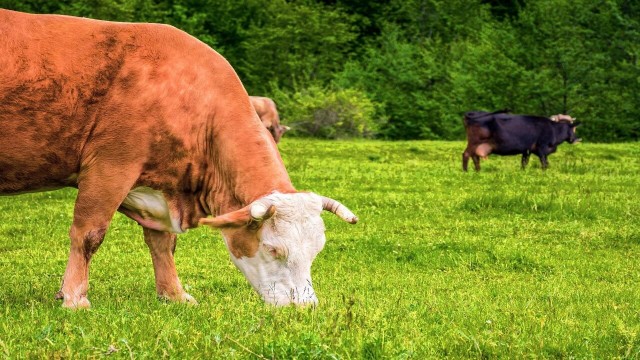
Agriculture drones fitted with high definition thermal cameras are also used to track, inspect and monitor livestock remotely. The government of Assam, the Republic of India partnered with Tata Consulting Services (TCS) to use drones to conduct surveillance, identify unauthorized settlements and to deter poachers in Kaziranga National Park spread over 480 square kilometres. Agriculture drones fitted with thermal cameras can identify poachers from their heat signatures even if they are hiding in thick foliage. This effort has proved beneficial for the vulnerable one-horned rhino.
Although agriculture drones are an eye in the sky, the real power comes from the strength of data processing and analytics that take place after the data is collected. Solutions such as Smarter Agriculture (Precisionhawk) offer an integrated platform to use data from drones, sensors and other devices to automate and optimize farm management
Pix4Dag converts multispectral images into accurate reflectance and index maps, such as NDVI, and uses red, green and blue (RGB) images to generate high-resolution orthomosaics. Sentera’s AgVault handles data that are then used to track crop growth stages, weeds, compaction, storm damage and more. SenseFly’s eBee provides an integrated solution that includes drones and analytics to support various applications
CLASSES OF AGRICULTURAL DRONES
There are various classifications of agriculture drones based on their size – from very small, small, medium to large. Categories such as multirotor models such as Ruko U11 Pro 4K and fixed wing models have their unique characteristics. A fixed-wing aircraft, such as SenseFly’s eBee, has the advantage of longer endurance and hence can cover larger areas and has a fast flight speed. The disadvantages are that they need an area for landing and takeoff and are harder to manoeuvre. They can fly at speeds in excess of 80 km/h.
This makes fixed-wing agriculture drones ideal for aerial survey, high-resolution aerial photos, mapping and land surveying. The limitation is in the requirement of a runway to facilitate takeoff and landing. In contrast, multirotor agriculture drones (Quadcopter models and Ruko F11GIM2) have lower speed, shorter flight duration and limited payload capacity. Their agile manoeuvring, ability to hover around a particular area, and their ability to operate in confined areas make them ideal for surveillance and for detecting crop pests, diseases and weeds.
AGRICULTURE DRONE POTENTIALS
Agriculture drones offer a range of exciting opportunities for improving the management of crops, livestock, fisheries, forests and other natural resources. At the most basic level, agriculture drones permit farmers to obtain a birds-eye-view of their crops, allowing them to detect subtle changes that cannot be readily identified by “crop scouts” at ground level. Agriculture drones equipped with special sensors can collect multispectral images that are stitched to generate spectral reflectance bands.
These bands allow users to calculate indexes such as a Normalized Difference Vegetation Index (NDVI), a Leaf Area Index (LAI) or a Photochemical Reflectance Index (PRI), allowing farmers to view crop changes or stress conditions that are otherwise invisible to the human eye.
NDVI provides information about the different biomass levels within a land parcel. Interpreted NDVI images can tell a lot about water stress or excess, nutrient deficiencies, pest infestations, crop diseases, or other conditions affecting crop development. Imagery indicators, such as NDVI, represent a first layer of information that can be built upon through field visits or a dedicated algorithm. Such algorithms are already available for fertilization where imagery indicators are translated into agronomic indicators to guide fertilizer inputs
These remote sensed data can also be used to speed up the painstaking process of conducting crop inventories and yield estimates. Ranchers and fishery managers are beginning to experiment with the technology, hoping to take advantage of the ability of agriculture drones to cut down on the time and expense of conducting patrols and reconnaissance work.
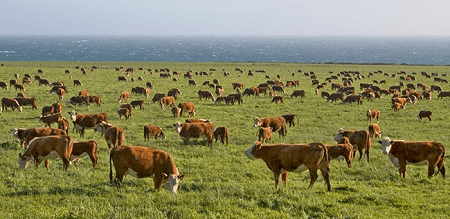
Cattle ranchers, with a large area of land to cover, have used agriculture drones to determine the location of their livestock, and some have found UAVs useful for conducting regular surveys of fencing
CHALLENGES OF AGRICULTURE DRONES USAGE
Many urban areas including airports and helicopter landing sites and their associated approach/departure paths need to be safe from the interference of flying objects. Aviation is not without risk and the reputation of UAV technology would be severely affected in the aftermath of a mid-air collision with a passenger aircraft. Increasingly, UAVs are equipped with geo-fencing software that prevents them from flying within restricted areas or warns the pilot if they enter a sensitive no-fly zones.
Automatic updates with temporary flight restrictions around wildfires help protect authorized fire fighting aircraft and ensure fire crews can operate without disruption. Software such as the Geospatial Environment Online includes permanent flight restrictions around prisons, nuclear power plants and other sensitive locations, as well as temporary restrictions for large stadium gatherings and national security events. It also introduces flexibility for drone pilots by giving them the ability to unlock some restricted areas where they have permission to operate
Nevertheless, unscrupulous users may disable such controls or use UAVs that are not equipped with similar security features. A.J. Emmerson, former and often critical member of the Australian Civil Aviation Authority (CAA), notes there is no place in aviation safety regulations for cost–benefit analysis and that “the objective of ensuring safety of flight cannot be left to enterprising but unregulated operators or to a doctrine of survival of the fittest.”
Nevertheless there is a balance required between public safety and reliable commerce, a trade-off between over-regulation and promoting private enterprise. There are pieces of airspace where UAVs could conduct unfettered operations at low risk and there are areas where access will never be appropriate with our present technical know-how
Impact of Government Regulations on Agriculture Drones
The world is dealing with the emergence of new technologies in the position to gather data at an impressive level of detail. In this respect, governments have been busy legislating on personal data management and privacy issues. Civil drone technology, for professional and recreational use, adds a layer of complexity as its deployment allows access to views previously inaccessible to many, and impinges on airspace, a dimension traditionally used by manned aircraft.
According to PwC, agriculture drones will transform agriculture into a high-tech industry for the first time, with decisions being based on real gathering and processing of data and a likely increase in productivity and yields. Being a technology that is developing faster than the regulations intended to regulate its use, it is quite challenging to assess how these have influenced drone operations in agriculture. In addition, a range of stakeholders usually contributes to the development of such regulations.
In shaping their governance, there is the need to find a balance between managing the ground and air risks of agriculture drones operations, the need for safety and privacy and the benefits to agriculture and broader natural resource management. Hence it is of paramount importance that civil aviation authorities closely interact with stakeholders in the agricultural sector in the process
REFERENCE
FAO E-Agriculture in Action: Drones for Agriculture


Share This Article: